“Hamilton County GIS Map: Property & Land Data Guide”
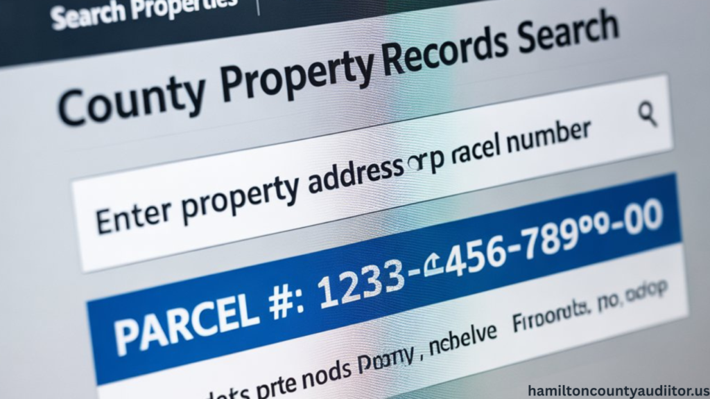
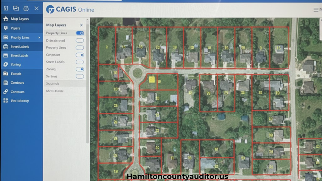
Property SearchUnderstanding property boundaries, land use, and geographic data has never been easier thanks to modern mapping technology. The Hamilton County GIS map, officially managed through CAGIS (Cincinnati Area Geographic Information System), provides residents, property buyers, real estate professionals, and researchers with instant access to detailed land information and parcel data. Whether you’re planning to purchase […]
“Hamilton County GIS Map: Property & Land Data Guide” Read Post »